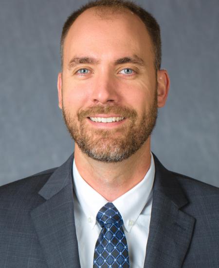
Dr. Michael Sama specializes in drone-based proximal and remote sensing techniques applied to agricultural and environmental monitoring. He has expertise in geospatial measurements, 3D reconstruction using LiDAR and photogrammetry, and analysis of spectral signatures using machine learning. As part of the EduceLab’s MOBILE team, Dr. Sama will contribute to field data collection and analysis at heritage sites.
Dr. Sama completed his B.S. in Computer and Systems Engineering at Rensselaer Polytechnic Institute followed by his M.S. and Ph.D. in Biosystems and Agricultural Engineering at the University of Kentucky. He directs activities at the Wildcat Agricultural and Atmospheric Research Pavilion (WAARP) – a drone flight facility at the University of Kentucky North Farm – which serves as a field laboratory for validating EduceLab’s MOBILE systems.

